Who: Greg, Kim and Thomas
Hazy, Hot (mid-80'2s) and Humid
Start of Hike: 10:03 am
End of Hike: 2:35pm
Start of Bike: 2:40pm
End of Bike: 3:01 pm
We left the house at 6:30 am and traveled up I-95. We came upon an upside down wreck in the medium near Augusta exit but found nobody in the car. They had already been taken away Thomas was told on via 911 call. Phew! After nutrition stop at Subway we drove to Blackwood's Campground entrance on Rte. 3 and stashed the bikes in the woods near the head of the South Ridge Cadillac Trail and drove back to The Tarn parking lot.
The hiking distance was really about 5.8 hilly miles and the bike was around 3.0 hilly miles. I forgot to turn off All-Trails for 2 miles driving away!
Gearing up in the Parking Lot.
Heading down the trail at the north end of the pond.
This is not the path we chose but I like to take photos of all the trail markers for later reference.
We traveled up the Diederich Trail and it is the most engineered walkway in Acadia with stairways, steps, drainage so I honored this incredible work with many photos, as you shall soon see!
 |
| This is looking south along Champlain Mountain, which we spent a fair amount of time climbing in the spring. |
 |
| This is a woodland snake who posed for many pictures and video. |
 |
| My intrepid partner hikers. |
 |
| Starting to get views northeast towards Bar Harbor. This shows the North Ridge Trail and Jackson Lab complex and Rte 3. |
 |
| A large visitor in Bar Harbor. |
 |
| Thomas with Sieur Du Mont Spring marsh in background. |
 |
| Selfie |
 |
| Champlain Mountain |
 |
| The whole hiking gang, minus one. |
 |
| Kim uses the natural approach when she doesn't have an elastic hair tie. |
 |
| This is where we took a left across the face using the Schiff Path. |
 |
| The beaver lodge is actually at the foot of the North Trail on Champlain Mountain and this photo is super-zoomed form the Schiff Path. |
 |
| Over-looking the pond starting point. |
 |
| This is a small stone bridge that would be awesome to visit during the winter run off during a spring hike. The signs show it must be in the middle of a torrential waterfall! |
 |
| We headed up the Dorr Mountain Trail at this intersection. We will need to try the Ladder Trail some time on a future hike. |
 |
| Views of the ocean. |
CAIRNS
I really like the cairns that mark the trails and I included some samples of these in the next pictures.
The summit of Dorr Mountain is actually a few tenths to the south from this sign post.
 |
| Cadillac Mountain to the west of Dorr. |
 |
| Official summit of Dorr Mountain. |
Clouds
After leaving the summit of Dorr Mountain we headed into the Gorge between the two summits. I have viewed this gap for decades and it was the realization of a log-held goal to climb through this area. I was not disappointed.
The bottom of the Gorge has this intersection with the Gorge Path to the north and the A. Murray Trail to the south. We headed up the Gorge Path Cadillac summit.
 |
| Looking south towards Otter Creek. |
 |
| Looking north towards Trenton. |
 |
| Otter Cliffs peninsula in the distance jutting into the Atlantic Ocean. |
 |
| Looking back towards the summit of Dorr Mountain. |
 |
| You can see the Beehive as the center bump in this view. |
 |
| Dorr Mountain |
 |
| The Porcupines |
I forgot to take photos at the summit of Cadillac. It was very populated with tourists and very hot so we refilled our water bottles and headed for the Cadillac South Ridge Trail.
 |
| This trail intersection happens 0.5 miles from the summit and heads down the west face to Bubble Pond. |
 |
| Zoomed view of The Beehive and pond to the east. |
 |
| Looking back towards the summit of Cadillac. |
 |
| Bonzai |
 |
| This pond of frogs and springwater is possibly called "The Featherbed" and is at a trail intersection that has the Canon Brook Trail crossing it. West will take you to Jordan Pond and the east path has the A. Murray Trail and the Dorr South Ridge Trail ending (starting) from it. The trial will eventually land you back at the pond that we started from along Rte. 3, just south of Jackson Labs. |
 |
| Looking west across the southern ridge of Pemetic Mountain. |
 |
| Northwest view of the gap between Pemetic and Cadillac. There is the well-worn carriage path that we have biked many times in this area that leads to Bubble Pond. |
 |
| Cadillac Mountain |
 |
| Dorr Mountain |
 |
| This intersection marks a short side trip that we defiantly were not up for. |
 |
| This is the other end of the side trip and has been recently re-engineered all the way to Rte. 3. |
 |
| The end of our hiking. |
 |
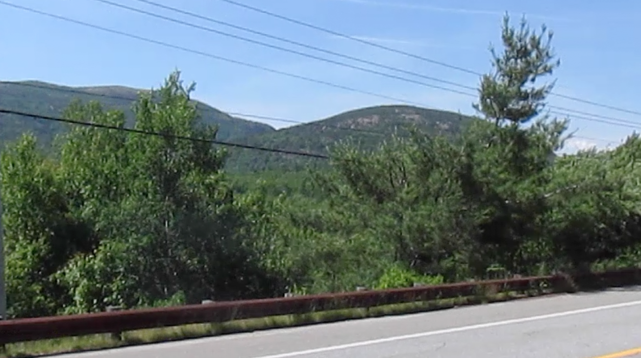
| Our camouflaged bikes waiting for the ride back to the start. |
 |
| This shows the view of the Gorge between Cadillac to the left(west) and Dorr to the right(east), |
After a trip to get re-supplied in a crowded Bar Harbor we drove out to Long Pond for some cooling off and fishing. The car thermometer shoes 86 degrees throughout the drive.
Next up, July hike/run/bike.