Not knowing what to expect, for snow coverage, Kim and I headed north along I-95 at 8am. The February visit to the park was spent trudging through 2 feet of new snow. We drove to the Schooner Head Road which is the back way to the Park Loop Road. The Park Loop Road is still mostly closed but you enter the best section right at the entrance gate. After parking we walked back along the one-way park loop road towards the Precipice trail.
In just a short while we came to the other end of the closed Precipice Trail where there was a nice bench built into the mountainside.
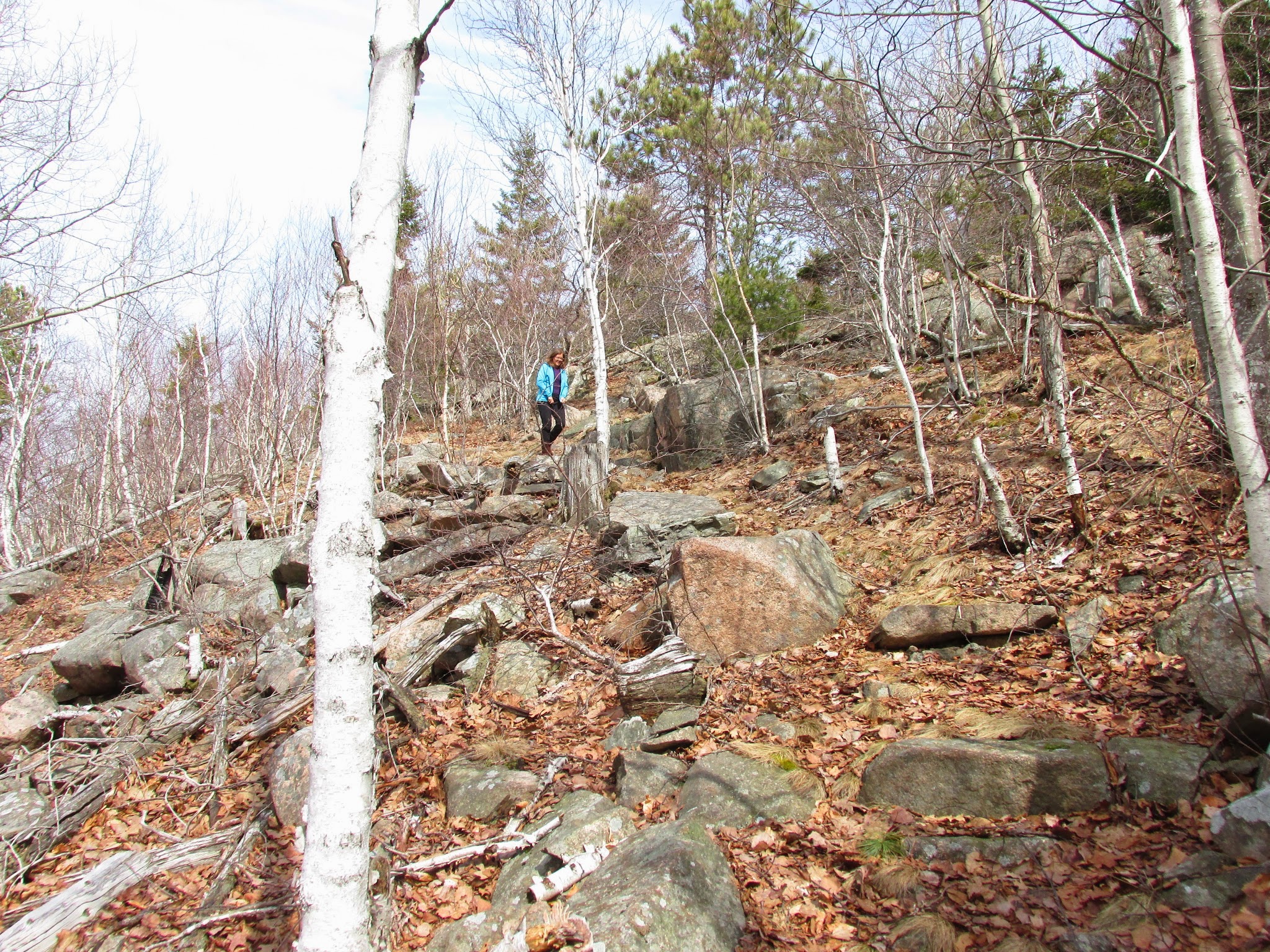
We took a right up an access trail to the Champlain Mountain North Ridge Trail.
Once we turned to the northern side of the mountain the snow became increasing deep and abundant.
At the intersection we had a choice to go left up and over Champlain Mountain to the Bowl area above the Beehive or take a right that would take us down to the loop road. Considering the snow levels and our shoe choices we decided to save the higher elevations for our April vacation trip.
The views to the north of Champlain include the Jackson Lab complex, frenchman's Bay with the Porcupine Island Archipelago and downtown Bar harbor.
To the west were views of Dorr Mountain.
Tucked into the gap between Champlain and Dorr was Beaver Dam Pond with a beaver lodge in the corner.
Hiking is the early spring allows sitelines that are unavailable once the leaves sprout.
This is the trail head along the loop road that signals the entrance to this side of the trail. There is parking about 300 yards further up the loop road.
Meltwater and ice still has a hold on spring.
When we mad it back to the beginning of the Orange and Black Path we took a left (east) turn down the Murphy's Lane path to the Schooner Head area.
Precipice Trail along Champlain Mountain in the background.
We finished up the hike taking a shortcut through the woods and back to the closed section of the Park Loop Road for a total of 4.2 miles on All-Trails but I think whenever you do steep elevation changes the satellites can only track horizontal differences on the Earth's surface, so it may be a little off.


